ADVANCED COURSE: SPATIAL CONSERVATION PRIORITIZATION: CONCEPTS, METHODS AND APPLICATIONS


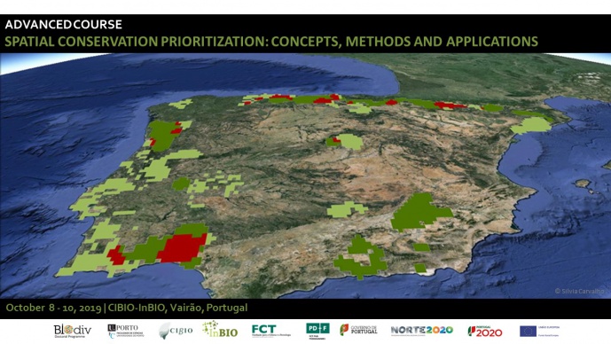
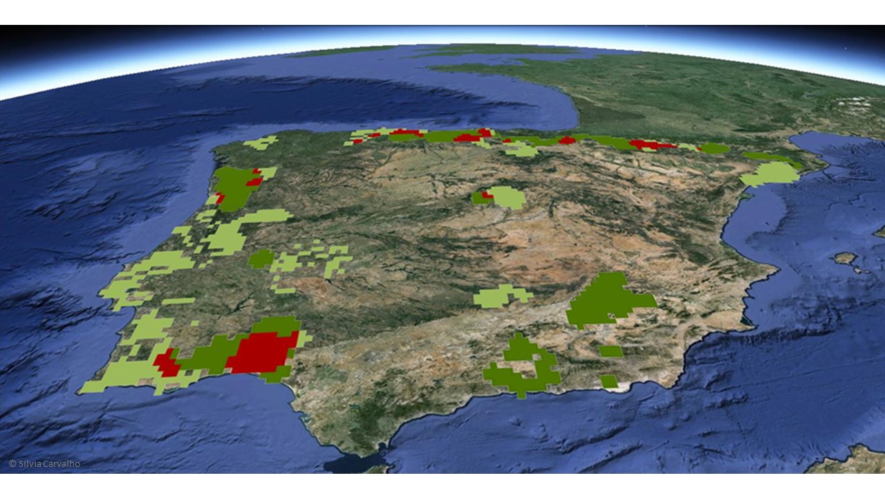
Spatial conservation prioritization is a relatively new field of biology which uses quantitative techniques to generate spatial information about conservation priorities. Over the last years, several methods and tools have been developed to aid optimization of spatial conservation decisions. Two of the most popular tools are Marxan and Zonation, which solve two different mathematical problems: the minimum set and the maximal coverage, respectively.
At the end of this course participants will:
• Recognize the urgent need to protect biodiversity efficiently;
• Understand the main concepts underpinning spatial conservation prioritization;
• Distinguish the two major conservation problems: minimum set and the maximal coverage;
• Understand the Marxan mathematical formulation and optimization method.
• Be able to use Marxan to identify priority conservation areas;
• Understand how integer linear programming (ILP) techniques can provide a flexible interface for building and solving conservation planning problems
• Be able to identify priority areas for conservation using prioritizr R package
• Understand Zonation framework and cell-removal rules;
• Be capable of identifying spatial conservation priorities using Zonation;
• Understand that basic conservation optimization methods can be adapted to more complex ecological problems including directional and dynamic ecological systems and applied to different levels of the biodiversity hierarchy: from genes to ecosystem services.
PROGRAMME
October 8
9:45 – 12:45
Welcome
• Introducing the lecturers, students, practical arrangements
• What to expect from the course
• Overview of the program
Lecture1 – Spatial Conservation Prioritization
• Convention on Biologic Diversity, and the Aichi Targets
• Protected areas as a conservation tool
• Systematic Conservation Planning and objectives: Representation and Persistence
• Mathematical characterization of conservation prioritization problems: minimum set vs maximal coverage
• Types of conservation features
Lecture 2– Introduction to Marxan
• The Marxan objective function
• Introduction to Marxan optimization - simulating annealing
• Marxan´s input and output files
Preparing for the practical exercises
• Installing R, R Studio, required R packages, Quanto Gis and plugin CLUZ, Marxan and Zonation
• Copying the exercise files from Dropbox to your local drive
14:45-17:45
Practical - Using Marxan Software (part I)
• Optimization exercise with Excel
• Creating the planning unit file (Pu.dat)
• Creating the planning unit versus species matrix (puvsp.dat)
Exercises – Using R with point (Gbif), polygon (IUCN) and raster (maxent .asc outputs) distribution data
• Creating the species file (spec.dat)
• Creating the boundary length file (bound.dat)
October 9
9:45 – 12:45
Practical – Using Marxan Software (part II)
• Run Marxan through R
• Understand and calibrate Marxan parameters and interpret outputs
• Display Marxan output and Interpret solutions
• Design of planning scenarios: lock in/ out planning units, costs and connectivity
• Import Marxan solutions to R for future analysis
14:45-17:45
Lecture 3 – Introduction to prioritizr R package
• Introduction to integer linear programming (ILP)
• Package overview
• Package workflow
• Differences between Marxan and prioritizr
Practical – Using prioritizr R package
• Add an objective
• Add targets
• Add constraints
• Add penalties
• Add the decision types
• Add a solver
• Add a portfolio of solutions
• Solve the problem
October 10
9:45 – 12:45
Lecture 4 –The Zonation framework
• The Zonation framework
• Zonation Meta-algorithm and cell-removal rules
• Zonation Input and output files
Practical– Running Zonation
• Produce Zonation input files
14:45-17:45
Practical– Running Zonation
• Analyze Zonation results
• Post processing analysis and options
Lecture 4 - Advanced applications of spatial conservation prioritization:
• Planning for freshwater ecosystems
• Planning over time accounting for dynamic threats (e.g. climate change)
• Planning for different hierarchical levels of biodiversity from genes to ecosystems
General Discussion
COURSE INSTRUCTORS
Silvia Carvalho - CIBIO-InBIO | THEOECO, BIODESERTS
Jeff Hanson - CIBIO-InBIO | BIODESERTS
Virgilio Hermoso - Centre Tecnologic Forestal de Catalunya (CEMFOR - CTFC)
INTENDED AUDIENCE
The course will be open to a maximum number of 15 participants.
SELECTION CRITERIA
75% of available student slots are reserved for BIODIV students.
Priority will be given to:
• 1st year and other PhD students attending the BIODIV Doctoral Program;
• PhD students attending other courses;
• Other post-graduate students and researchers.
REQUIREMENTS
Basic knowledge of Geographic Information Systems (e.g. ESRI ArcMap or QGIS) and R statistical computing environment) (R: www.r-project.org) is mandatory. All participants must bring their own personal laptop.
REGISTRATION
Participation is free of charge for BIODIV students | 65 € (students) | 125 € (other participants). CIBIO-InBIO members will have an additional discount of 20%. Fee do not include lunch or coffee breaks
To apply, please fill the form available HERE.
Registration deadline: September 10, 2019
All applicants will be notify about whether they are accept until September 16, 2019.
Please note that new rules apply for all BIODIV students.
