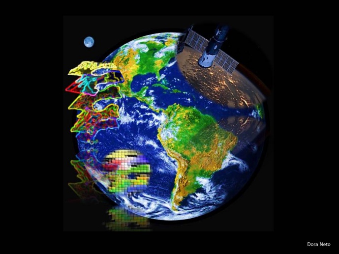
GEOSPATIAL TECHNOLOGIES IN ECOSYSTEM MANAGEMENT

This is the 1st edition of the course “Geospatial technologies in ecosystem management”, an introductory course to GIS, GPS and Remote Sensing.
In general, the course is designed to follow an integrated overview of these three technologies, and we intend to deeply approach each one, in the future, by creating new course designs directed for that. This attempt is much sought after by many professionals of different backgrounds, which are faced with the possibility of using these technologies for their own needs, especially in the ecosystem management context. The course is balanced between theory and application, and participants are encouraged to bring spatial data related to their current work or interest.
“Geospatial technologies in ecosystem management - An introductory course to GIS, GPS and Remote Sensing”, is organised by Science Retreats LDA on behalf of the Évora branch of InBIO-CIBIO.
Dates and logistics
The course will take place in the historical city of Évora, in Portugal, between the 5th and the 11th of September 2016.
Application deadline
June 15, 2016.
Course Objectives
Upon completion of the course, participants will:
1. Understand
- the fundamental principles and techniques of Geographic Information Systems, Remote Sensing and Global Positioning System;
- the range of tools and methods for collection, management, processing/modelling and interpretation of spatial data - vector and raster;
- how geospatial geotechnologies can be used within ecosystem management issues;
- how to think critically and be able to find answers to solve spatial problems, especially those related to ecosystem management issues.
2. Develop skills on
- Commercial GIS software: i) Esri’s ArcGIS Desktop - ArcMap, ArcCatalog, ArcToolbox, Spatial Analyst, ModelBuilder, Image Analysis Window, and/or ii) open-source software: QGIS;
- Searching, accessing, downloading and displaying web-based data, such as from Google Earth, within a GIS software;
- GPS data, integrating it and GIS to generate new data layers;
- Remotely sensed imagery for analysis or visualization purposes.
For more information, including the full programme, click here, or contact us at cibioue@uevora.pt .